
New Flooding Risk Map Available During WI Severe Weather Awareness Week
posted
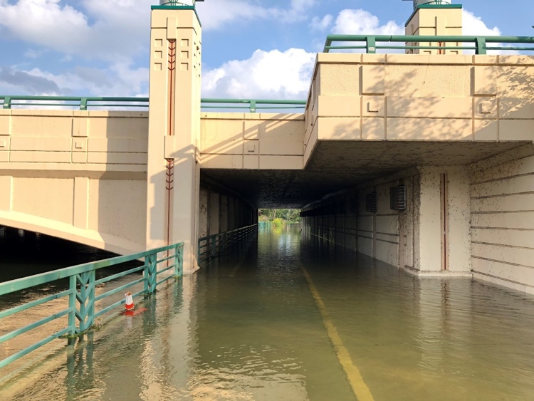
A new map is available for the community to see areas known to historically experience street flooding during storm events in the City of Madison.
The City of Madison Engineering Division created the new map to be a simplified tool to help residents understand the locations of street areas that are more likely to flash flood and should be avoided when driving and parking during extreme storm events. This map compliments the more detailed watershed flood risk maps.
Wisconsin Severe Weather Awareness Week
April 7-11, 2025 is Wisconsin Severe Weather Awareness Week, and this map is just one of many tools you can add to your knowledge base of severe weather and emergency kit as active weather season begins.
Understanding Flooding
The City of Madison Engineering Division has a number of resources on its Flooding website to help the community understand flooding that happens in Madison.
Flash flooding can occur anywhere throughout the City when the stormwater infrastructure cannot convey the amount of water that is falling.
Lake level flooding occurs when the entire Yahara chain of lakes system has more water flowing into it than can be moved through it.
Lake levels are defined by DNR and implemented by Dane County.
Resources

Departments:
