Southeast Area Plan
Art Workshop
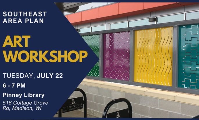
Calling all artists, art lovers, or residents interested in potential art opportunities within the Southeast Area Plan. This workshop will explore ideas for future art possibilities in the area guided by Madison’s Arts staff.
July 22, 6-7pm @ Pinney Library
516 Cottage Grove Rd.
---

An updated Phase 1 feedback summary is available. The update includes previous comments, plus new comments received through the end of Phase 1 of the project in May via email, additional events, and the interactive commenting map.
---
The Southeast Area Plan
Area Plans guide changes that occur over time to the physical aspects of our community, such as land use, housing, transit, streets, bike paths, and other community facilities. They are steered by overarching City policies and feedback from stakeholders.
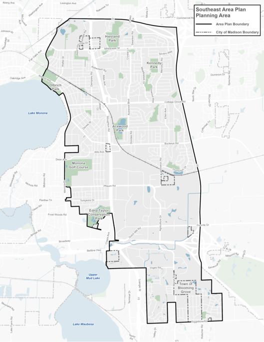
The Southeast Area is approximately 7,000 acres (10.9 square miles) and is generally bounded by the State Highway 30 to the north, Interstate 90 to the east, City of Monona to the west, and Siggelkow Road / Village of McFarland to the South. See map below. Additional background maps can be found under the Project Resources section.
The City invites residents, community organizations, businesses, and other stakeholders to share feedback about the future of their neighborhoods. Keep up to date on events and ways to participate by subscribing to the email list.
Subscribe to Email List
Meetings and Events
Upcoming
To be announced
Past
May 29, 2025
Presentation, Boards, Handouts
Virtual Meeting - Dec 5, 2024
Presentation, Meeting Recording
Project Resources
Background
Land Use & Transportation
Neighborhood Housing
Economy & Opportunity
Culture & Character
Green & Resilient
Effective Government
Health & Safety
Community Action Strategy
Project Contacts
Rebecca Cnare, City of Madison Planning Division
Jeff Greger, City of Madison Planning Division
Phone: 608-266-4635
Email: southeastareaplan@cityofmadison.com


